About gLiDAR
Thank you for your interest in gLiDAR.
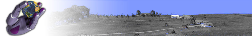
gLiDAR is an interactive software tool that allows generation of a digital terrain model and ground extraction from data collected by LiDAR technology (Light Detection And Ranging).
Purpose:
gLiDAR is an R&D implementation of a ground extraction algorithm, intended for demonstrational purposed and is limited in its functionalities.
History:
gLiDAR was developed as a part of scientific study of point geometry in point-clouds at
Faculty of electrical engineering & Computer science, University of Maribor, Slovenia.
Although a compleate LiDAR data processing software toolkit is under the development,
gLiDAR is presented separately because of the demand driven from our industrial and research partners.
Feature goals:
Our aim is to integrate gLiDAR with other developed algorithms for LiDAR data processing and provide a complete solution for LiDAR data processing.
Related Work
We also developed:- LASCompression: lossless compression algorithm for LIDAR datasets. Currently available version supports compression of LAS file format version 1.0/1.1/1.2.
- LiDAR Live: an efficient visualization an LiDAR data processing tool. It currently supports LAS file format version 1.0/1.1/1.2/1.3.